Kai Powell · 16 October 2026
Bay Residency Program Empowers Artists to Chronicle Coastal Shifts in Meadow Bay
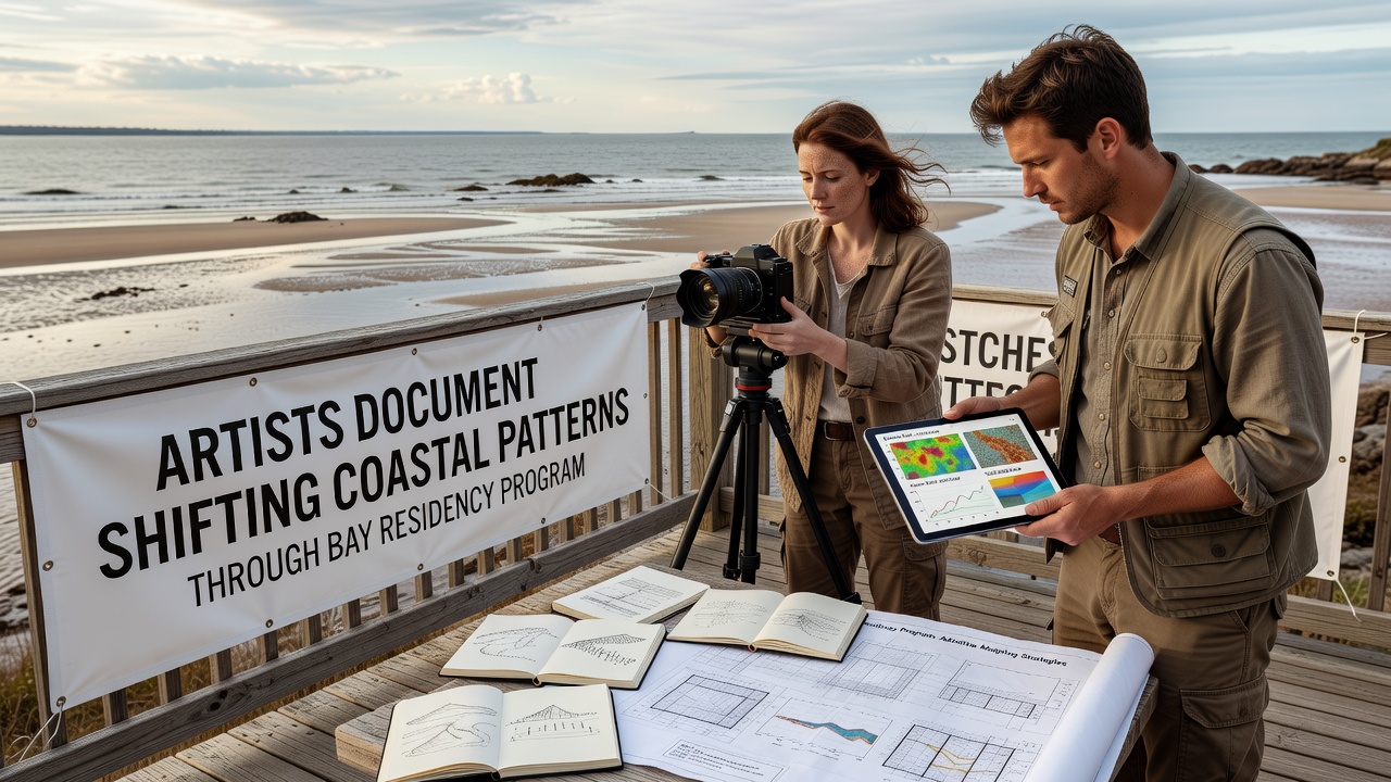
Artists selected for the Meadow Bay residency program spend extended periods observing and recording transformations along the bay's shorelines where erosion rates have accelerated in recent decades and where seasonal patterns of bird migrations and fish populations show measurable deviations from historical records. The initiative pairs participants with access to field stations and archival tide data so they can integrate visual documentation with quantitative measurements collected by local monitoring stations.
Program Structure and Participant Selection
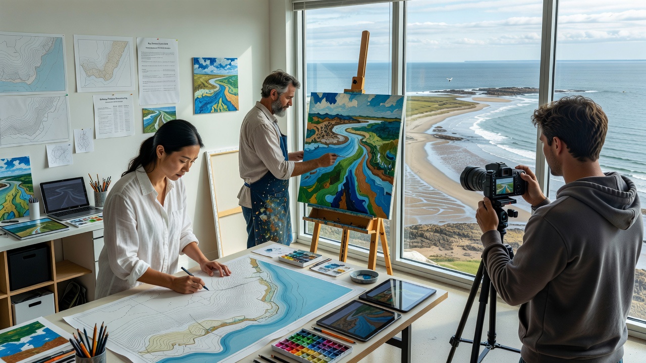
Each cycle runs for twelve weeks and draws applicants from visual arts, sound recording, and multimedia fields; selection committees review proposals that emphasize direct engagement with environmental monitoring tools such as sediment traps and salinity sensors. Participants receive stipends that cover materials while they produce works ranging from time-lapse videos of receding marsh edges to soundscapes that capture the shifting frequencies of wave patterns against altered rock formations.
Residents also attend weekly briefings led by coastal geologists who present updated lidar surveys showing elevation changes of up to fourteen centimeters in certain inlet zones between 2020 and 2025. These briefings supply context that artists incorporate into mixed-media pieces without altering the underlying datasets.
Methods Artists Use to Record Coastal Changes
Many residents combine traditional sketching with drone photography to map vegetation line retreat; others embed temperature loggers in sculptural installations that later transmit readings to public dashboards. One cohort in 2024 produced a series of cyanotype prints that overlaid daily tide height graphs onto images of exposed mudflats, creating composite records that align aesthetic output with verifiable measurements.
Sound artists have deployed hydrophones at fixed transects to capture variations in fish vocalizations that correlate with water temperature increases documented by the National Oceanic and Atmospheric Administration. The resulting audio compositions play in rotating exhibitions that allow visitors to hear seasonal shifts while viewing corresponding graphs of dissolved oxygen levels.
Integration with Broader Research Efforts
Works produced through the residency feed into public databases maintained by regional universities; curators tag each piece with metadata that links visual elements to specific coordinate points and dates. This approach enables researchers to cross-reference artistic interpretations against satellite imagery and buoy readings without requiring separate fieldwork.
Exhibitions scheduled for October 2026 will feature installations that compare current marsh extent against maps from 1995, using augmented-reality overlays that let viewers toggle between historical and present conditions. Organizers coordinate these displays with ongoing surveys conducted by the European Environment Agency so that Meadow Bay findings can contribute to transatlantic comparisons of temperate estuary responses.
Archival Contributions and Public Access
All residency outputs enter a digital repository that remains open to students and planners; the archive already contains over two hundred documented sites where artists recorded changes in Spartina grass density alongside water level readings. Access protocols require users to cite both the artistic source and the original sensor data, preserving traceability from creative product back to raw observations.
Community workshops held at the end of each residency cycle teach local residents how to interpret the combined datasets; participants learn to read both the color gradients in a cyanotype print and the corresponding pH values recorded at the same location. These sessions occur at the Meadow Bay field station and accommodate up to thirty attendees per session.
Conclusion
The residency program continues to generate records that merge artistic practice with systematic observation of coastal dynamics. Through structured access to monitoring equipment and archival resources, participants produce works that extend the reach of quantitative findings into public exhibitions and educational settings while maintaining direct links to verified environmental measurements.