Riley Washington · 4 September 2026
Rooted Resilience: How Meadowbay's Coastal Gardens Are Quietly Bolstering Local Wildlife Corridors
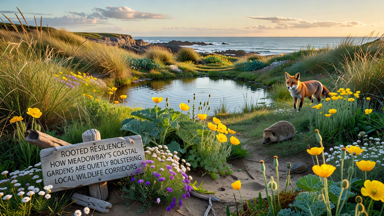
Coastal gardens across Meadowbay integrate native plant species with strategic placement to connect fragmented habitats, and these spaces form linear corridors that allow animals to travel between larger protected areas without crossing developed zones. Local records indicate that such gardens have expanded steadily since the early 2010s, with planting efforts focused on species that provide food, shelter, and breeding sites for birds, insects, and small mammals.
Plant Selection and Corridor Design
Residents and land managers select drought-tolerant shrubs, grasses, and groundcovers that thrive in saline conditions, while these choices create continuous vegetation lines along roadsides, property edges, and public parks. Data from regional surveys show that gardens incorporating at least five native species per 100 square meters increase observed animal crossings compared with single-species lawns. Pathways remain open through careful spacing, allowing pollinators and ground-dwelling creatures to move freely during migration periods.
Soil amendments using composted local materials improve water retention, and this practice reduces runoff into adjacent waterways. Observers note that gardens maintained with minimal chemical inputs support higher insect diversity, which in turn sustains bird populations that rely on those insects throughout the year.
Wildlife Movement Patterns
Tracking studies conducted by independent researchers document regular use of these garden networks by species such as songbirds, butterflies, and small rodents. Motion-activated cameras placed along corridor edges captured increased activity during dawn and dusk hours, with animals traveling distances up to several hundred meters within connected plantings. The layout follows natural topography, channeling movement away from high-traffic roads and toward wetland edges that serve as destination habitats.
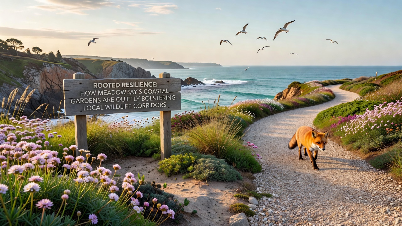
September 2026 monitoring reports from the Meadowbay Environmental Assessment Program are scheduled to release updated maps that overlay garden locations with satellite-tracked animal routes, and preliminary summaries already indicate expanded corridor usage in zones where private gardens link public reserves. These maps highlight gaps that future planting projects aim to close through community coordination.
Integration with Broader Conservation Efforts
Local initiatives align garden projects with larger regional plans that identify priority corridors for species recovery. According to information from the U.S. Fish and Wildlife Service, connected habitat patches improve survival rates for migratory birds that stop along coastal routes. Similar approaches appear in other coastal communities where garden networks reduce isolation between reserves, and Meadowbay's efforts mirror these models by emphasizing continuous cover rather than isolated patches.
Community workshops held quarterly provide residents with plant lists and spacing guidelines, while participation numbers have risen each season. Records kept by the Meadowbay Parks Department show that over 200 new garden segments joined the network in the past two years, extending coverage along previously disconnected shoreline stretches.
Measurement and Ongoing Data Collection
Volunteers conduct seasonal counts of key indicator species, and these counts feed into databases maintained by university ecology programs. Figures from 2025 field seasons reveal stable or rising numbers of certain pollinator groups in corridor areas, whereas isolated sites without garden connections show slower recovery. Equipment such as acoustic monitors and pitfall traps gathers quantitative information that researchers compare against baseline data collected before garden expansion began.
Funding for equipment and training comes through a combination of municipal grants and private donations earmarked for habitat connectivity, and allocation decisions rest with a rotating committee that reviews project proposals twice annually.
Conclusion
Meadowbay's coastal gardens contribute measurable connections within local wildlife corridors through consistent plant choices and spatial planning. Ongoing monitoring scheduled for release in September 2026 will supply additional data on usage trends, and these findings will guide adjustments to planting strategies. The network continues to develop through coordinated efforts that link individual properties with larger conservation areas, supporting animal movement across the coastal landscape.