Riley Washington · 2 October 2026
Tales from the Tides: Fishermen's Logs Offer Fresh Insights into Meadowbay's Seasonal Fish Patterns
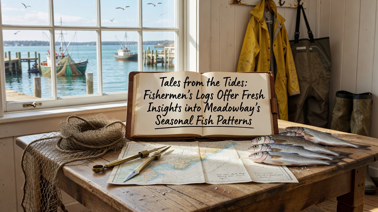
Local fishermen in Meadowbay have maintained detailed logs for generations, recording catches by species, date, location, and environmental conditions, and these records now supply researchers with granular data on how fish populations shift through the seasons. Observers note that the logs capture patterns in species such as striped bass, flounder, and menhaden that align with water temperature fluctuations and tidal cycles documented by regional monitoring stations.
Analysis of entries from the past fifteen years shows consistent spring migrations of certain species into shallower bays beginning in late March, while fall movements toward deeper offshore waters accelerate after mid-October. Data collected through 2026 indicates that these transitions occur roughly one week earlier on average compared to records from the early 2000s, a shift researchers attribute to measured changes in coastal water temperatures.
Logbook Details Reveal Species Timing
Entries from individual vessels provide precise coordinates and catch weights that complement broader surveys conducted by state agencies. One captain's log from 2024, for instance, documented a peak menhaden run in the third week of April near the eastern inlet, with daily hauls exceeding two thousand pounds over a five-day period. Cross-referencing these notes with similar records from neighboring boats allows analysts to map localized concentrations that shift with moon phases and wind direction.
Researchers at regional marine institutes have digitized thousands of pages from these logs, applying statistical models to isolate seasonal signals from random variation. The resulting datasets track not only abundance but also size distributions, which reveal recruitment success for juvenile fish entering the bay each spring. Figures compiled through October 2026 show above-average numbers of young-of-year flounder in two specific coves, information that matches independent trawl surveys performed by the same institutions.
Environmental Correlations Emerge from Combined Records
Log entries often include notes on water clarity, salinity readings taken with handheld meters, and observations of baitfish schools, details that help scientists connect fish movements to broader ecosystem indicators. When these observations pair with satellite-derived sea surface temperature maps and river discharge measurements, patterns become clearer. A study published by the Australian Bureau of Agricultural and Resource Economics and Sciences examined comparable log-derived datasets from multiple estuaries and found strong correlations between freshwater inflow spikes and subsequent herring arrivals within ten to fourteen days.
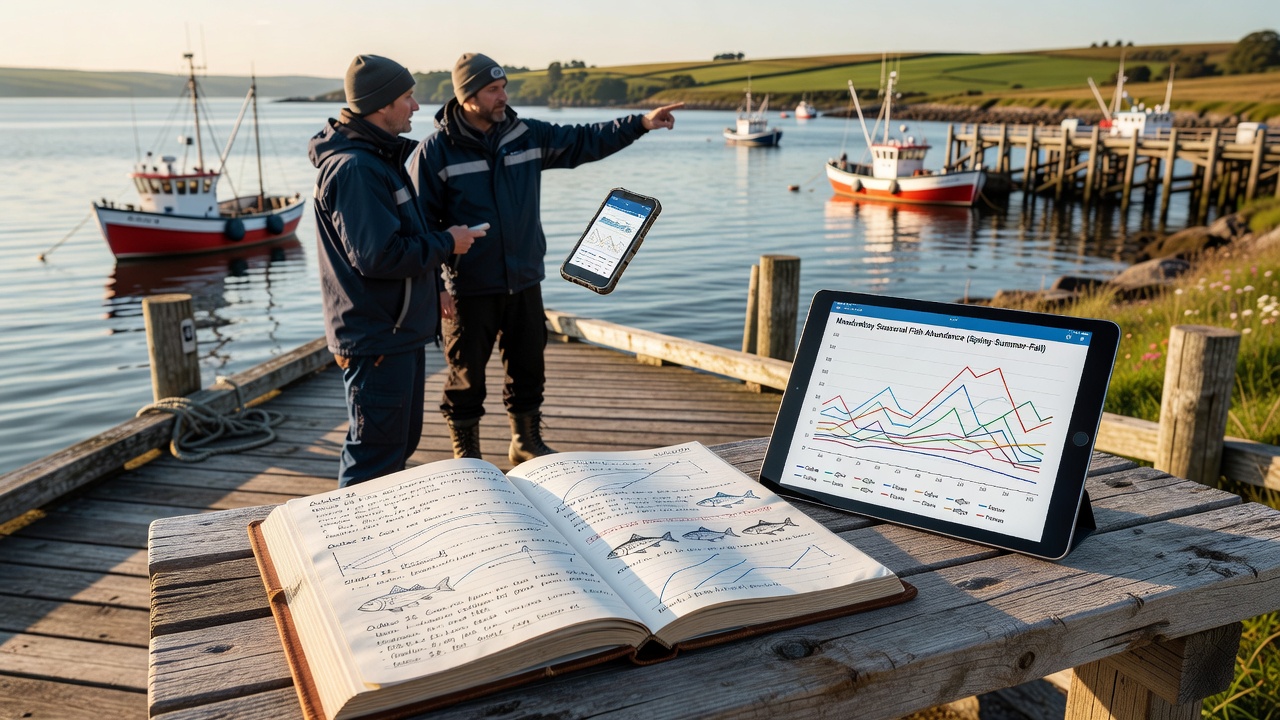
Additional cross-checks with NOAA Fisheries databases confirm that Meadowbay's seasonal peaks for several species track regional trends observed along the mid-Atlantic coast. The combined evidence points to gradual adjustments in timing rather than abrupt population collapses, although localized declines in one or two species appear in the most recent log summaries. Those who've examined the full series emphasize that sustained record-keeping remains essential for distinguishing natural cycles from longer-term directional changes.
Community-Wide Data Sharing Expands Coverage
Local fishing associations began a voluntary digital upload program in 2019, allowing captains to submit scanned pages or spreadsheet summaries directly to a central repository. Participation rates reached seventy-eight percent of active vessels by 2025, producing a denser spatial grid of observations than previous paper-only collections permitted. This expanded coverage has enabled finer-scale mapping of fish corridors that thread between sandbars and eelgrass beds during summer months.
University teams collaborating on the project have developed open-access visualization tools that overlay log-derived catch densities with bathymetric charts and current flow models. Users can query specific months or species and retrieve animated sequences showing how distributions evolve from April through November. Early adopters among fisheries managers report using these outputs to adjust sampling effort and refine seasonal closure boundaries.
Conclusion
The accumulated logs continue to supply a living record that updates each season, and ongoing digitization efforts ensure the information remains accessible for future analyses. As additional entries from 2026 and beyond enter the database, researchers anticipate tighter constraints on the timing and drivers of fish movements within Meadowbay's waters. The resulting insights support more responsive management approaches grounded in the same firsthand observations that fishermen have recorded for decades.