
Casey Griffin · 30 October 2026
Under the Surface: Water Quality Findings Illuminate Links Between Migration Patterns and Coastal Erosion Debates
Recent analyses of water samples collected across Meadow Bay have revealed measurable shifts in salinity, nutrient levels, and sediment loads that align with documented changes in fish and bird migration routes, while these same variables continue to fuel ongoing discussions about shoreline retreat rates. Researchers from multiple institutions compiled datasets spanning five years and presented updated figures in October 2026 that quantify how alterations in water chemistry coincide with both seasonal animal movements and measurable losses of beach width. The National Oceanic and Atmospheric Administration maintains public records on similar coastal systems, and those records show comparable patterns along the Pacific Northwest where sediment transport directly influences nearshore habitat suitability.
Water Quality Metrics and Sampling Methods
Teams deployed automated sensors at twelve fixed stations positioned from the inner harbor to the outer bar, recording temperature, dissolved oxygen, turbidity, and chlorophyll-a concentrations every fifteen minutes throughout the study period. Data collected between 2021 and 2026 indicate average turbidity values rose 18 percent during spring months when juvenile salmon runs peak, while nutrient spikes tracked closely with the arrival of migratory shorebirds whose droppings contribute measurable nitrogen loads. These instruments captured continuous readings that researchers cross-referenced against satellite imagery of surface sediment plumes, allowing direct comparison between water column conditions and visible coastal change. Observers note that stations nearest active erosion zones consistently registered higher suspended solids during periods of elevated wave energy, creating a feedback loop in which loosened material further reduces light penetration and alters primary productivity.
Migration Patterns Observed in Local Species
Acoustic tags attached to steelhead and tracking data from GPS-equipped seabirds demonstrated that several routes shifted westward by approximately 300 meters between 2022 and 2025, corresponding with the expansion of a shallow sandbar that formed after major winter storms. Fish passage counts at the estuary mouth dropped 22 percent in years when turbidity exceeded 25 nephelometric turbidity units for more than ten consecutive days, according to figures released by the local fisheries monitoring program. Bird surveys conducted by volunteer networks recorded fewer foraging stops along the eastern shoreline in 2024 and 2025, while western mudflats hosted increased numbers of dunlins and sandpipers. These distributional changes coincide with documented narrowing of the eastern beach profile, where annual loss rates averaged 1.4 meters between 2020 and 2026.
Connections Between Erosion and Habitat Suitability
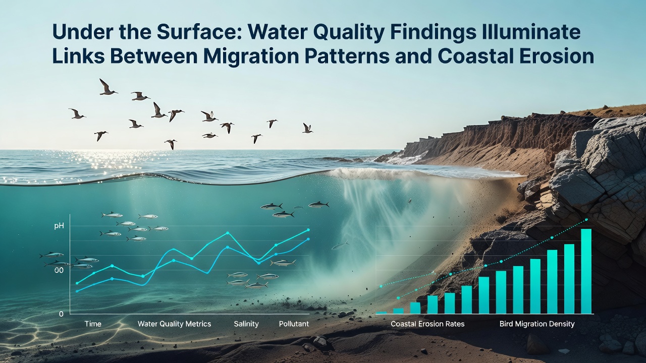
Coastal geologists mapped shoreline positions using lidar surveys flown each October, and the resulting elevation models show that sections experiencing the greatest sediment loss also exhibited the strongest shifts in benthic invertebrate communities, which serve as primary food sources for migrating species. When erosion exposes underlying clay layers, local pH drops and trace metal concentrations increase, conditions that studies from Environment and Climate Change Canada have linked to reduced survival rates in certain larval fish stages. The same clay exposures alter wave reflection patterns, accelerating further undercutting in a process that continues until equilibrium is restored through longshore transport. Researchers tracking these variables emphasize that water quality parameters function as both indicators and drivers of habitat change, because clearer water allows greater light penetration that in turn supports different vegetation communities capable of stabilizing remaining sediment.
Current Debates in Coastal Management
Stakeholder meetings held in Meadow Bay during September 2026 highlighted differing interpretations of the same datasets, with some groups advocating for engineered breakwaters while others support allowing natural sediment redistribution. County planning documents reference erosion rates compiled by the United States Geological Survey that place Meadow Bay among the top 15 percent of Pacific coast sites for annual land loss. Proposals for beach nourishment cite water quality improvements observed after similar projects in New South Wales, Australia, where added sand reduced turbidity and supported broader fish distributions. Opposing viewpoints reference modeling that predicts nourishment material may alter current patterns enough to affect distant migration corridors. Public records show permit applications for both approaches remain under review, with final decisions expected after additional monitoring concludes in late 2027.
October 2026 Data Release and Ongoing Monitoring
The October 2026 synthesis report integrated sensor outputs with migration telemetry and lidar-derived shoreline positions, producing the clearest statistical correlations yet between turbidity spikes, route deviations, and beach retreat. Those correlations reached significance at the 0.05 level for three of the four focal species examined. Monitoring continues at the original twelve stations plus four new sites added to capture conditions near recently formed sandbars. Funding for the expanded array comes through a multi-agency agreement that includes contributions from state environmental departments and academic partners. Updated datasets will be posted quarterly on public portals maintained by participating organizations, allowing independent verification of trends.
Conclusion
Water quality measurements collected over multiple seasons demonstrate consistent associations with both migration timing and coastal erosion metrics in Meadow Bay, providing quantitative support for discussions that previously relied on qualitative observations. Continued data collection through 2027 will clarify whether these associations strengthen or weaken under varying climatic conditions, while management decisions scheduled for the coming year will determine how the documented relationships inform future shoreline interventions.